Understanding the Mekong River map will let you grasp the web of connections that this vital waterway has throughout Southeast Asia. You will be able to trace the Mekong River’s path from its source in the Tibetan Plateau to its culmination in the South China Sea. This will also provide insights into the Mekong River's significance to the livelihoods of up to 65 million people relying on it for transportation, agriculture, and more.
1. A glance at the Mekong River map
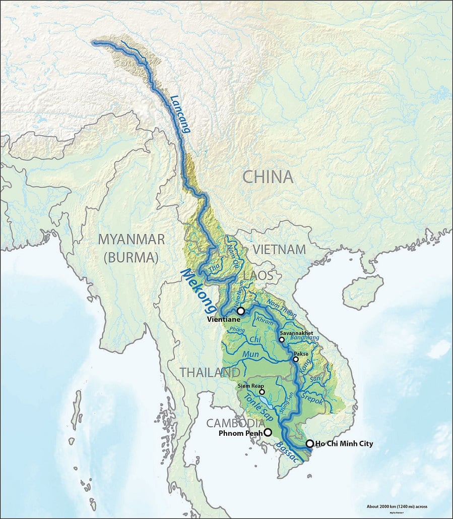
The Mekong River is the world’s 12th longest river. It starts high in China’s Tibetan Plateau and flows through several countries, including China, Myanmar, Thailand, Laos, Cambodia, and Vietnam.
There are many tributaries feeding the Mekong River. They are classified as left-bank or right-bank tributaries. The former drain areas with high rainfall contribute to the rainy season, while the latter drain regions with lower rainfall.
Home to over 20,000 plants, 430 mammals, 1,200 birds, 800 reptiles and amphibians, and 850 aquatic species, the Mekong River is one of the most biologically diverse splendors in the world.
>>> Read more: Mekong River cruise: Best all-inclusive options for the trip of a lifetime
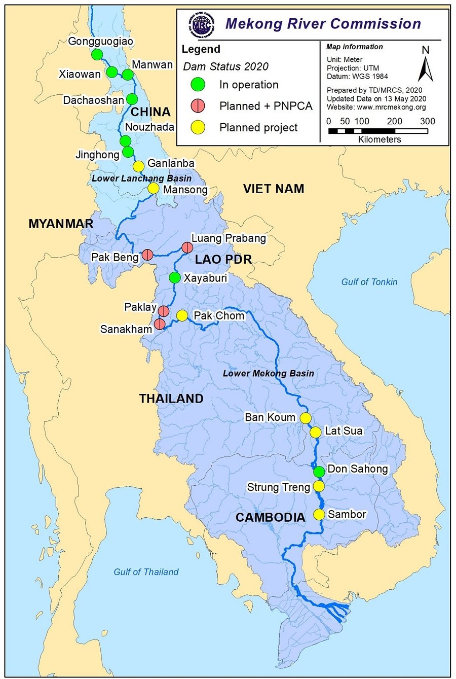
2. An insight into the 2 sections of the Mekong River map
The Mekong River map can be divided into two parts: the Upper Mekong and the Lower Mekong.
The Upper Mekong flows through Laos and China and dips slightly into Thailand and Myanmar. It is known for its unspoiled natural splendors, including mountains and jungles. You can take cruises through this part of the Mekong River to immerse yourself in Mother Nature’s raw beauty.
Contrasting the Upper Mekong’s people-free landscapes, the Lower Mekong is all about human activity. It is a bustling hub that winds through Cambodia and Vietnam, offering a lively atmosphere and an authentic glimpse into the local life. This part of the Mekong River showcases how people can live harmoniously with nature.
2.1. The Upper Mekong River
The Upper Mekong River consists of three parts: the source of the Mekong River, the Three Parallel Rivers Area, and the Lancang Basin. The entire stretch of river is about 2,200 kilometers in length.
2.1.1. The Tibetan Plateau
Also known as the roof of the world, the Tibetan Plateau is among the most awe-inspiring parts of the Mekong River. It is located between the Himalayas and the Taklamakan Desert, spanning an impressive area of 2,500,000 square kilometers. Within it are Asia’s three longest rivers: the Yellow River, the Yangtze River, and the Mekong River.

2.1.2. The Three Parallel Rivers Area
This is a UNESCO World Heritage Site in China’s Yunnan Province. Exceeding 1.7 million hectares, the Three Parallel Rivers Area is home to countless flora and fauna. It is described by UNESCO as one of the most biologically diverse temperate regions on Earth! Some of Mother Nature’s most beautiful and unique creations exist here.
2.1.3. The Lancang Basin
This is to the south of the Three Parallel Rivers Area, where it shifts from steep gradients to mid and lowland plains. It is roughly 2,000 to 3,000 meters above sea level. From both sides of the mainstream, multiple small tributary catchments drain into the river.
2.2. The Lower Mekong River
The Lower Mekong Basin lies between the Chinese border in Myanmar and the South China Sea. It stretches approximately 630,000 square kilometers and plays an essential role in maintaining the Mekong River’s ecology.
2.2.1. The Northern Highlands
This is an upland region that encompasses northeastern Myanmar, northern Thailand, and northern Laos. It is characterized by a steep topography, which makes it attractive for hydropower advancements. The tributaries entering the Mekong River in this region are Nam Ta, Nam Ou, Nam Song, and Nam Khan on the left bank and Nam Mae Kok, Nam Mae Ing on the right bank.

2.2.2. The Khorat Plateau
This is a 155,000-square-kilometer plateau in the northeastern Thai region of Isan. It is about 200 meters above sea level and tilts southeastward, draining into the Chi River and the Mun River. The area supports cotton, corn, hemp, and rice cultivation, as well as the raising of cows, pigs, and horses. This Mekong River region plays a big role in the livelihoods of many.
2.2.3. The Tonle Sap Basin
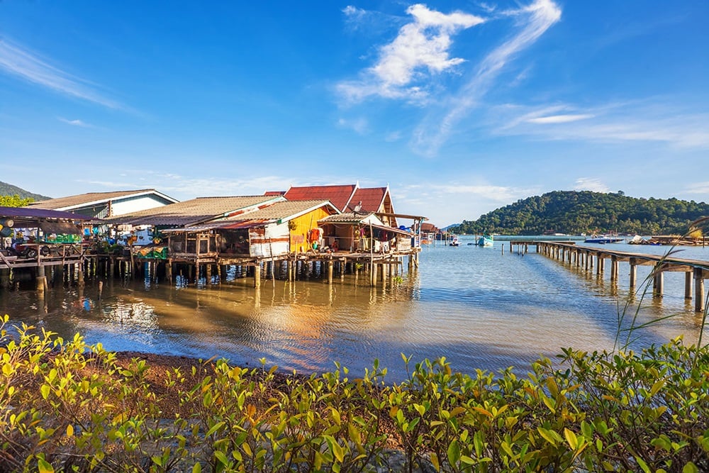
This is the largest freshwater lake in Southeast Asia, having one of the most diverse ecosystems on the planet. It is situated in the northwest of the lower Mekong plain. 55% of the Tonle Sap is forest, and 45% is agricultural land. It is enveloped by freshwater mangroves known as flood forests and low hills. This basin is also where floating villages are prominent. Many Cambodians of Vietnamese origin live here.
2.2.4. The Mekong Delta
The Mekong Delta map starts in Cambodia's Phnom Penh, where the Bassac River diverges from the mainstream of the Mekong River. It crosses the Vietnamese border at Dong Thap Province and flows through Long Xuyen, Sa Dec, and Vinh Long before splitting into four distributaries and exiting to the South China Sea.
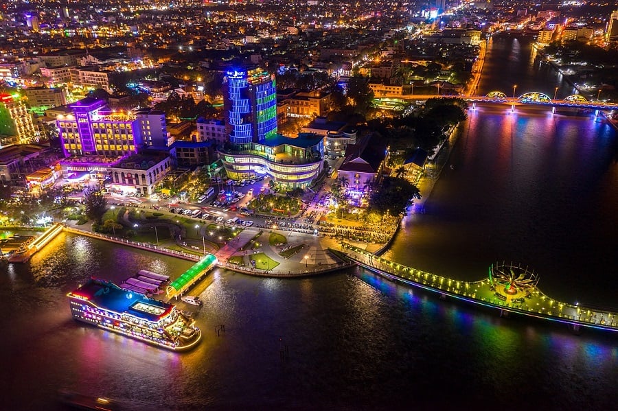
The Mekong Delta is the most densely populated part of the Mekong River. Here, there is a major Vietnamese city called Can Tho. It is located on the Hau River's northern bank, which is one of the key distributaries of the Mekong River. To the east of Can Tho is Ben Tre, known for its serene riverside landscapes and Tra Vinh. And to the south are Bac Lieu, Kien Giang, and Ca Mau.
3. Which is better to visit on the Mekong River map, the upper or lower part?
To choose between the upper and lower parts of the river, think about the type of travel experiences you are drawn to.
The Mekong River’s upper part is ideal for those who love nature and seek a serene setting to unwind. With its untouched beauty, the upper part of the Mekong River is particularly great for photography. On the other hand, those who are interested in learning about local cultures will prefer the river’s lower part, where floating villages and markets will offer an authentic glimpse into the indigenous life.
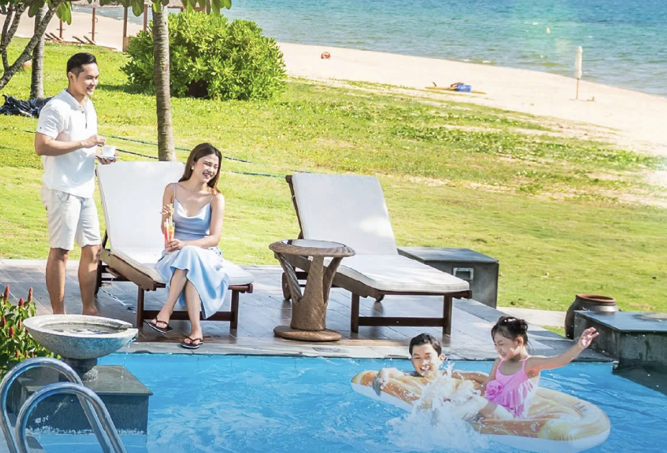
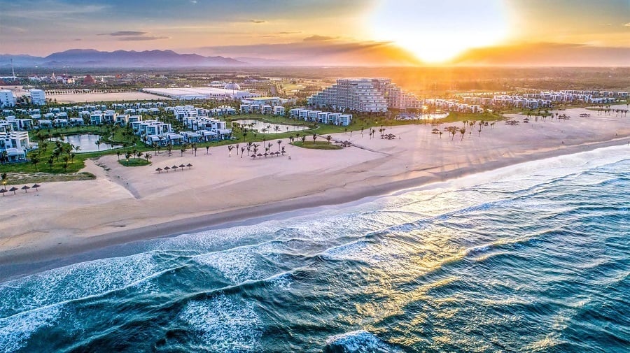
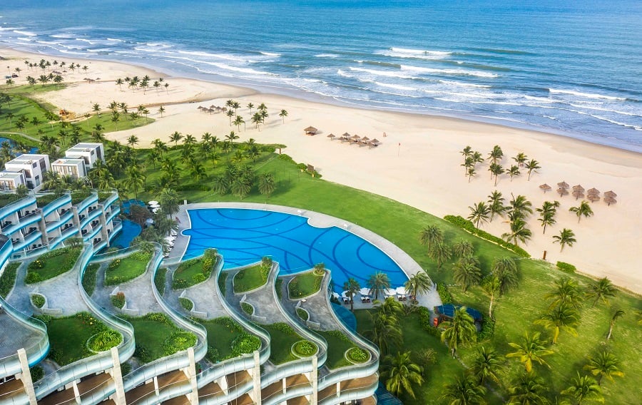
On your trip to explore the Mekong River, you should also take the time to visit Vietnam’s Hanoi, Phu Quoc, Nha Trang, Hoi An, Da Nang, and Ha Long. These destinations provide you with a range of diverse experiences to fully embrace the charm of the country.
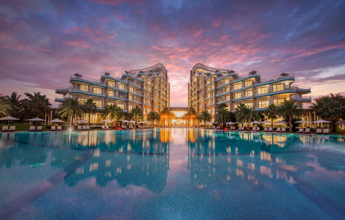
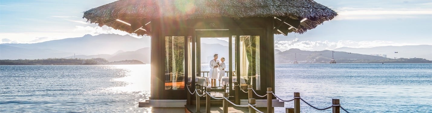
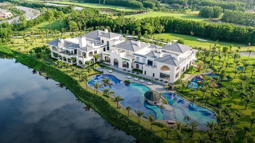
In these destinations, you can opt for a stay at the hotels and resorts of Vinpearl. Vinpearl offers luxurious accommodations with all-inclusive amenities for you to enjoy unparalleled hospitality. In addition, you can also visit VinWonders, a system of entertainment complexes that provide a mix of attractions for both relaxation and excitement.
>>> Book rooms in Vinpearl Phu Quoc, Vinpearl Nha Trang, Vinpearl Resort & Golf Nam Hoi An, Vinpearl Resort & Spa Ha Long for the best accommodation!
Now that you have a good understanding of the Mekong River map, you can embark on a journey to this wonderful region. Choose between the Mekong River's upper or lower parts to immerse yourself in the natural beauty and vibrant culture of Southeast Asia. From the Tibetan Plateau to the Tonle Sap, there is plenty to explore.